
DISH topographic map
Click on the map to display elevation.
About this map
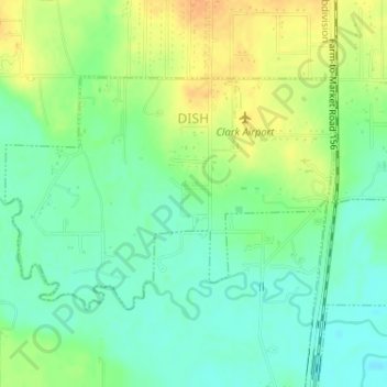
Name: DISH topographic map, elevation, terrain.
Location: DISH, Denton County, Texas, United States (33.12003 -97.31699 33.13628 -97.28949)
Average elevation: 201 m
Minimum elevation: 186 m
Maximum elevation: 221 m
Other topographic maps
Click on a map to view its topography, its elevation and its terrain.
Clear Creek Natural Heritage Center
United States > Texas > Denton County > Denton
Average elevation: 173 m
Lakewood Village
United States > Texas > Denton County > Lakewood Village > Lakewood Village
Average elevation: 163 m