
Salanfe topographic map
Interactive map
Click on the map to display elevation.
About this map
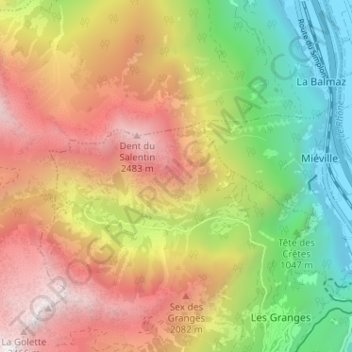
Name: Salanfe topographic map, elevation, terrain.
Location: Salanfe, Salvan, Saint-Maurice, Valais, 1902, Suisse (46.13872 6.96752 46.15359 7.03144)
Average elevation: 1,499 m
Minimum elevation: 448 m
Maximum elevation: 2,636 m
Other topographic maps
Click on a map to view its topography, its elevation and its terrain.