
Thank you for supporting this site ❤️
Make a donation
Make a donation
Henderson topographic map
Click on the map to display elevation.
Thank you for supporting this site ❤️
Make a donation
Make a donation
About this map
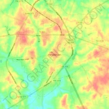
Name: Henderson topographic map, elevation, terrain.
Location: Henderson, Rusk County, Texas, 75652, United States (32.11322 -94.83938 32.19322 -94.75938)
Average elevation: 139 m
Minimum elevation: 106 m
Maximum elevation: 169 m
Thank you for supporting this site ❤️
Make a donation
Make a donation