
Elmendorf topographic map
Click on the map to display elevation.
About this map
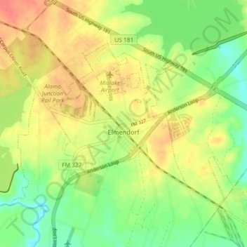
Name: Elmendorf topographic map, elevation, terrain.
Location: Elmendorf, Bexar County, Texas, United States (29.23729 -98.35478 29.27898 -98.28203)
Average elevation: 153 m
Minimum elevation: 126 m
Maximum elevation: 181 m
Other topographic maps
Click on a map to view its topography, its elevation and its terrain.