
Thank you for supporting this site ❤️
Make a donation
Make a donation
Überherrn topographic map
Click on the map to display elevation.
Thank you for supporting this site ❤️
Make a donation
Make a donation
About this map
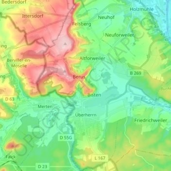
Name: Überherrn topographic map, elevation, terrain.
Location: Überherrn, Landkreis Saarlouis, Saarland, 66802, Germany (49.21521 6.66009 49.30452 6.76246)
Average elevation: 244 m
Minimum elevation: 174 m
Maximum elevation: 378 m
Thank you for supporting this site ❤️
Make a donation
Make a donation