
Thank you for supporting this site ❤️
Make a donation
Make a donation
Aubechies topographic map
Click on the map to display elevation.
Thank you for supporting this site ❤️
Make a donation
Make a donation
About this map
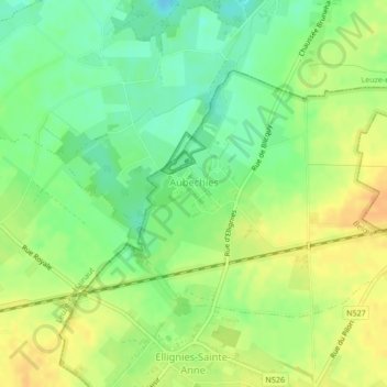
Name: Aubechies topographic map, elevation, terrain.
Location: Aubechies, Belœil, Ath, Hainaut, Wallonie, Belgique (50.56448 3.67058 50.58172 3.70227)
Average elevation: 56 m
Minimum elevation: 39 m
Maximum elevation: 72 m
Thank you for supporting this site ❤️
Make a donation
Make a donation
Other topographic maps
Click on a map to view its topography, its elevation and its terrain.
Thank you for supporting this site ❤️
Make a donation
Make a donation
Thank you for supporting this site ❤️
Make a donation
Make a donation