
Soufrière Beach topographic map
Interactive map
Click on the map to display elevation.
About this map
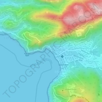
Name: Soufrière Beach topographic map, elevation, terrain.
Average elevation: 101 m
Minimum elevation: 0 m
Maximum elevation: 379 m
Other topographic maps
Click on a map to view its topography, its elevation and its terrain.
Soufriere
Saint Lucia > Soufriere > Soufriere
Soufriere, ST. LUCIA, Saint Lucia
Average elevation: 188 m