Thank you for supporting this site ❤️
Make a donation
Make a donation
River Plantation topographic map
Click on the map to display elevation.
Thank you for supporting this site ❤️
Make a donation
Make a donation
About this map
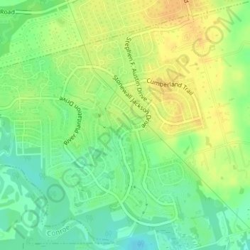
Name: River Plantation topographic map, elevation, terrain.
Location: River Plantation, Montgomery County, Texas, United States (30.24235 -95.45592 30.26384 -95.42743)
Average elevation: 43 m
Minimum elevation: 27 m
Maximum elevation: 57 m
Thank you for supporting this site ❤️
Make a donation
Make a donation
Other topographic maps
Click on a map to view its topography, its elevation and its terrain.
Thank you for supporting this site ❤️
Make a donation
Make a donation
Thank you for supporting this site ❤️
Make a donation
Make a donation
Thank you for supporting this site ❤️
Make a donation
Make a donation
Thank you for supporting this site ❤️
Make a donation
Make a donation
