
Thank you for supporting this site ❤️
Make a donation
Make a donation
Kings Bay Base topographic map
Click on the map to display elevation.
Thank you for supporting this site ❤️
Make a donation
Make a donation
About this map
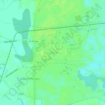
Name: Kings Bay Base topographic map, elevation, terrain.
Location: Kings Bay Base, Camden County, Georgia, 31558, United States (30.76659 -81.58851 30.80659 -81.54851)
Average elevation: 6 m
Minimum elevation: 0 m
Maximum elevation: 12 m
Thank you for supporting this site ❤️
Make a donation
Make a donation
Other topographic maps
Click on a map to view its topography, its elevation and its terrain.