Geolocate
👉 Easily get elevation data in JSON, GeoTIFF and KML formats using Elevation API
Thank you for supporting this site ❤️
Make a donation

Newhouse topographic map

Click on the map to display elevation.

👉 Easily get elevation data in JSON, GeoTIFF and KML formats using Elevation API
Thank you for supporting this site ❤️
Make a donation

About this map

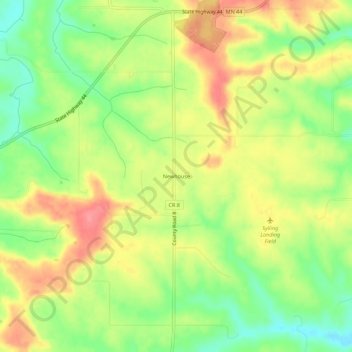
Name: Newhouse topographic map, elevation, terrain.

Location: Newhouse, Houston County, Minnesota, 52131, United States (43.50497 -91.72015 43.54497 -91.68015)

Average elevation: 359 m

Minimum elevation: 316 m

Maximum elevation: 402 m

Other topographic maps

Click on a map to view its topography, its elevation and its terrain.

La Crescent

United States > Minnesota > Houston County

Average elevation: 231 m

Eitzen

United States > Minnesota > Houston County

Average elevation: 342 m

Brownsville

United States > Minnesota > Houston County

Average elevation: 247 m