
Thank you for supporting this site ❤️
Make a donation
Make a donation
Jack Davis Island topographic map
Click on the map to display elevation.
Thank you for supporting this site ❤️
Make a donation
Make a donation
About this map
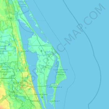
Name: Jack Davis Island topographic map, elevation, terrain.
Location: Jack Davis Island, Brevard County, Florida, United States (28.27139 -80.92616 28.91139 -80.28616)
Average elevation: 2 m
Minimum elevation: -4 m
Maximum elevation: 23 m
Thank you for supporting this site ❤️
Make a donation
Make a donation
Other topographic maps
Click on a map to view its topography, its elevation and its terrain.