
Thank you for supporting this site ❤️
Make a donation
Make a donation
Glasgow topographic map
Click on the map to display elevation.
Thank you for supporting this site ❤️
Make a donation
Make a donation
About this map
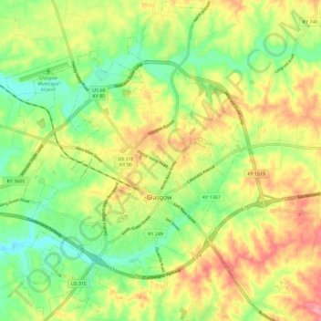
Name: Glasgow topographic map, elevation, terrain.
Location: Glasgow, Barren County, Kentucky, United States (36.96067 -85.97616 37.05199 -85.88175)
Average elevation: 230 m
Minimum elevation: 182 m
Maximum elevation: 287 m
Thank you for supporting this site ❤️
Make a donation
Make a donation
Other topographic maps
Click on a map to view its topography, its elevation and its terrain.