
Norddal topographic map
Interactive map
Click on the map to display elevation.
About this map
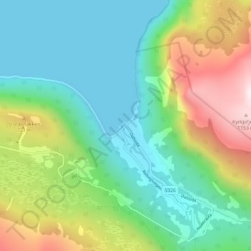
Name: Norddal topographic map, elevation, terrain.
Location: Norddal, Fjord, Møre og Romsdal, 6214, Norway (62.23464 7.21401 62.27464 7.25401)
Average elevation: 364 m
Minimum elevation: -2 m
Maximum elevation: 1,197 m
Other topographic maps
Click on a map to view its topography, its elevation and its terrain.