
Rakov Škocjan topographic map
Interactive map
Click on the map to display elevation.
About this map
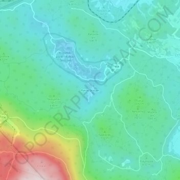
Name: Rakov Škocjan topographic map, elevation, terrain.
Location: Rakov Škocjan, Zirknitz, 1381, Slowenien (45.76612 14.27913 45.80612 14.31913)
Average elevation: 652 m
Minimum elevation: 499 m
Maximum elevation: 1,154 m
Other topographic maps
Click on a map to view its topography, its elevation and its terrain.