
Plitvice topographic map
Interactive map
Click on the map to display elevation.
About this map
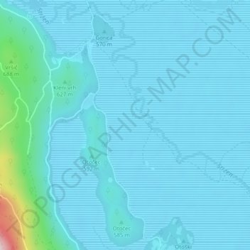
Name: Plitvice topographic map, elevation, terrain.
Location: Plitvice, Zirknitz, 1380, Slowenien (45.74286 14.35696 45.76286 14.37696)
Average elevation: 574 m
Minimum elevation: 543 m
Maximum elevation: 912 m
Other topographic maps
Click on a map to view its topography, its elevation and its terrain.