
Make a donation
Roosevelt topographic map
Click on the map to display elevation.
Make a donation
Roosevelt
Roosevelt is an unincorporated community in Lubbock County, Texas, United States. It sits at an elevation of 3136 feet (956 m). The community is part of the Lubbock Metropolitan Statistical Area. It mainly consists of Roosevelt High school. There is also a Baptist church here.
Make a donation
About this map
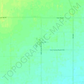
Name: Roosevelt topographic map, elevation, terrain.
Location: Roosevelt, Lubbock County, Texas, United States (33.56148 -101.69433 33.60148 -101.65433)
Average elevation: 957 m
Minimum elevation: 950 m
Maximum elevation: 964 m
Make a donation
Other topographic maps
Click on a map to view its topography, its elevation and its terrain.
Lubbock
United States > Texas > Lubbock County
Summers are hot, with 78 afternoons on average of 90 °F (32.2 °C)+ highs and 7.4 afternoons of 100 °F (37.8 °C)+ highs, although due to the aridity and elevation, temperatures remain above 70 °F (21.1 °C) on only a few mornings. Lubbock is the 10th-windiest city in the US with an average wind speed of…
Average elevation: 983 m
Make a donation
Buffalo Springs Lake
United States > Texas > Lubbock County > Buffalo Springs
Average elevation: 947 m
Make a donation
Make a donation