
Parc national de Gambela topographic map
Interactive map
Click on the map to display elevation.
About this map
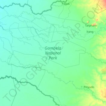
Name: Parc national de Gambela topographic map, elevation, terrain.
Location: Parc national de Gambela, Zone 1, Gambela, Éthiopie (7.62950 33.16640 8.34082 34.22680)
Average elevation: 426 m
Minimum elevation: 402 m
Maximum elevation: 720 m
Other topographic maps
Click on a map to view its topography, its elevation and its terrain.