
Gambela topographic map
Interactive map
Click on the map to display elevation.
About this map
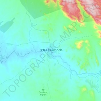
Name: Gambela topographic map, elevation, terrain.
Location: Gambela, Zone 1, Gambela, Éthiopie (8.09037 34.42773 8.41037 34.74773)
Average elevation: 570 m
Minimum elevation: 429 m
Maximum elevation: 1,430 m