
Dender topographic map
Interactive map
Click on the map to display elevation.
About this map
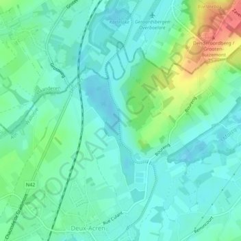
Name: Dender topographic map, elevation, terrain.
Location: Dender, Lessen, Henegouwen, Wallonië, 7860, België (50.73804 3.85583 50.74750 3.86338)
Average elevation: 28 m
Minimum elevation: 10 m
Maximum elevation: 77 m
Other topographic maps
Click on a map to view its topography, its elevation and its terrain.