
Woelingen topographic map
Interactive map
Click on the map to display elevation.
About this map
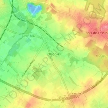
Name: Woelingen topographic map, elevation, terrain.
Location: Woelingen, Lessen, Henegouwen, Wallonië, 7866, België (50.66742 3.83988 50.70742 3.87988)
Average elevation: 39 m
Minimum elevation: -25 m
Maximum elevation: 76 m