
Seigneux topographic map
Interactive map
Click on the map to display elevation.
About this map
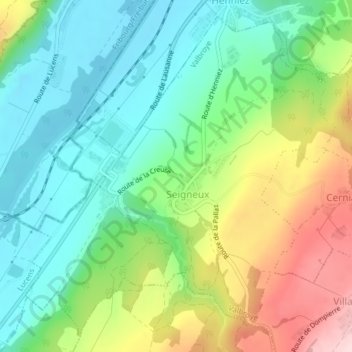
Name: Seigneux topographic map, elevation, terrain.
Location: Seigneux, Valbroye, District de la Broye-Vully, Vaud, Suisse (46.71646 6.86041 46.74103 6.89510)
Average elevation: 564 m
Minimum elevation: 469 m
Maximum elevation: 746 m
Other topographic maps
Click on a map to view its topography, its elevation and its terrain.
Combremont-le-Grand
Combremont-le-Grand, Valbroye, District de la Broye-Vully, Vaud, 1535, Suisse
Average elevation: 652 m
Combremont-le-Petit
Combremont-le-Petit, Valbroye, District de la Broye-Vully, Vaud, Suisse
Average elevation: 682 m