
Sacred hill topographic map
Interactive map
Click on the map to display elevation.
About this map
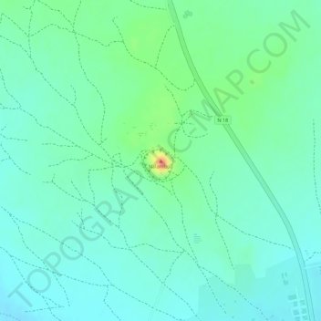
Name: Sacred hill topographic map, elevation, terrain.
Location: Sacred hill, Gourma, East, Burkina Faso (12.09617 0.34137 12.09627 0.34147)
Average elevation: 314 m
Minimum elevation: 297 m
Maximum elevation: 355 m
Other topographic maps
Click on a map to view its topography, its elevation and its terrain.