
Thank you for supporting this site ❤️
Make a donation
Make a donation
Gani topographic map
Click on the map to display elevation.
Thank you for supporting this site ❤️
Make a donation
Make a donation
About this map
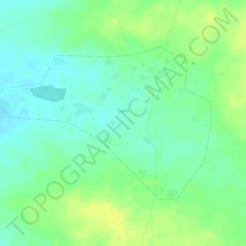
Name: Gani topographic map, elevation, terrain.
Location: Gani, Gomboro, Sourou, Boucle du Mouhoun, Burkina Faso (13.41147 -2.93084 13.42826 -2.90587)
Average elevation: 298 m
Minimum elevation: 287 m
Maximum elevation: 309 m
Thank you for supporting this site ❤️
Make a donation
Make a donation
Other topographic maps
Click on a map to view its topography, its elevation and its terrain.