
Lac Notre-Dame topographic map
Interactive map
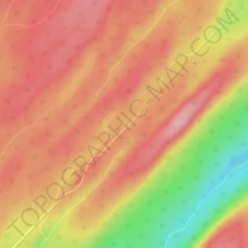
Click on the map to display elevation.
About this map
Name: Lac Notre-Dame topographic map, elevation, terrain.
Average elevation: 369 m
Minimum elevation: 268 m
Maximum elevation: 420 m
Other topographic maps
Click on a map to view its topography, its elevation and its terrain.
Saint-Médard
Canada > Québec > Les Basques > Saint-Médard
Saint-Médard, Les Basques, Bas-Saint-Laurent, Québec, Canada
Average elevation: 348 m