
Thank you for supporting this site ❤️
Make a donation
Make a donation
London Hill topographic map
Click on the map to display elevation.
Thank you for supporting this site ❤️
Make a donation
Make a donation
About this map
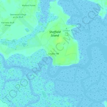
Name: London Hill topographic map, elevation, terrain.
Location: London Hill, Camden County, Georgia, United States (30.82468 -81.63177 30.86468 -81.59177)
Average elevation: 2 m
Minimum elevation: -2 m
Maximum elevation: 9 m
Thank you for supporting this site ❤️
Make a donation
Make a donation
Other topographic maps
Click on a map to view its topography, its elevation and its terrain.