
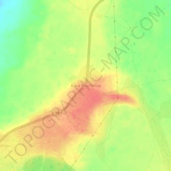
Kwa Kuchinia topographic map
Interactive map
Click on the map to display elevation.
About this map
Name: Kwa Kuchinia topographic map, elevation, terrain.
Location: Kwa Kuchinia, Babati, Manyara Region, Northern Zone, Tanzania (-3.71492 35.91699 -3.67492 35.95699)
Average elevation: 1,004 m
Minimum elevation: 972 m
Maximum elevation: 1,028 m
Other topographic maps
Click on a map to view its topography, its elevation and its terrain.