
Thank you for supporting this site ❤️
Make a donation
Make a donation
Hohenlimburg topographic map
Click on the map to display elevation.
Thank you for supporting this site ❤️
Make a donation
Make a donation
About this map
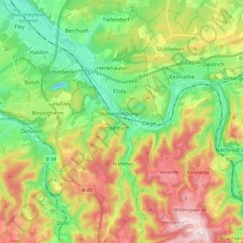
Name: Hohenlimburg topographic map, elevation, terrain.
Location: Hohenlimburg, Hagen, Noordrijn-Westfalen, 58119, Duitsland (51.29562 7.48887 51.39922 7.59890)
Average elevation: 237 m
Minimum elevation: 65 m
Maximum elevation: 494 m
Thank you for supporting this site ❤️
Make a donation
Make a donation
Other topographic maps
Click on a map to view its topography, its elevation and its terrain.