
Iberia topographic map
Click on the map to display elevation.
About this map
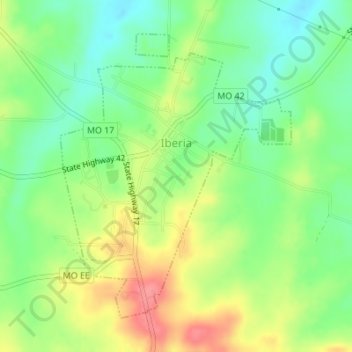
Name: Iberia topographic map, elevation, terrain.
Location: Iberia, Miller County, Missouri, United States (38.07684 -92.30400 38.09868 -92.28147)
Average elevation: 273 m
Minimum elevation: 241 m
Maximum elevation: 316 m
Other topographic maps
Click on a map to view its topography, its elevation and its terrain.