
Thank you for supporting this site ❤️
Make a donation
Make a donation
Cave City topographic map
Click on the map to display elevation.
Thank you for supporting this site ❤️
Make a donation
Make a donation
About this map
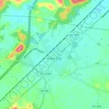
Name: Cave City topographic map, elevation, terrain.
Location: Cave City, Barren County, Kentucky, United States (37.12041 -85.99774 37.15645 -85.93421)
Average elevation: 207 m
Minimum elevation: 184 m
Maximum elevation: 290 m
Thank you for supporting this site ❤️
Make a donation
Make a donation
Other topographic maps
Click on a map to view its topography, its elevation and its terrain.