
Bukit Besi topographic map
Interactive map
Click on the map to display elevation.
About this map
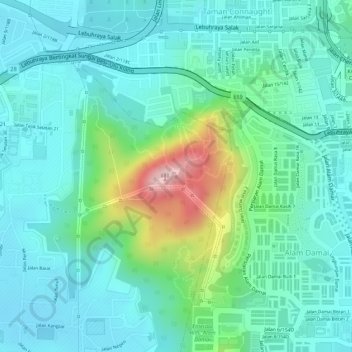
Name: Bukit Besi topographic map, elevation, terrain.
Location: Bukit Besi, Kuala Lumpur, 56000, Malaysia (3.07050 101.73064 3.07060 101.73074)
Average elevation: 103 m
Minimum elevation: 44 m
Maximum elevation: 287 m
Other topographic maps
Click on a map to view its topography, its elevation and its terrain.
Kampung Hujung Pasir
Kampung Hujung Pasir, Kampung Bharu, Kuala Lumpur, 50300, Malaysia
Average elevation: 46 m
Kampung Kasipillay
Kampung Kasipillay, Kuala Lumpur, 51000, Malaysia
Average elevation: 54 m
Titiwangsa Lake Park
Titiwangsa Lake Park, Semarak, Kuala Lumpur, Malaysia
Average elevation: 43 m
Duta Nusantara Park
Duta Nusantara Park, Duta Nusantara, Taman Duta, Kuala Lumpur, Malaysia
Average elevation: 82 m