
Zingem topographic map
Interactive map
Click on the map to display elevation.
About this map
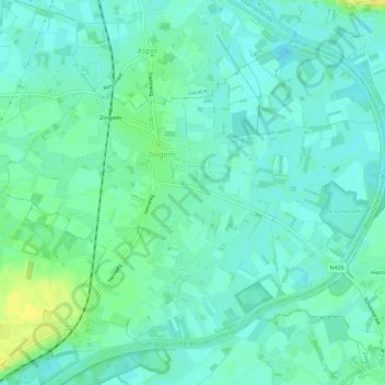
Name: Zingem topographic map, elevation, terrain.
Location: Zingem, Kruisem, Ostflandern, Flandern, Belgien (50.88627 3.63026 50.91450 3.68666)
Average elevation: 11 m
Minimum elevation: 3 m
Maximum elevation: 30 m
Other topographic maps
Click on a map to view its topography, its elevation and its terrain.