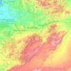
Morocco topographic maps
Click on a map to view its topography, its elevation and its terrain.


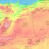
Souss-Massa
Three factors influence the semi-arid Mediterranean climate of the region: the topography, the oceanic coastline, and the Sahara Desert. In the northern part, dominated by the Atlas Mountains, the climate shifts from humid to semi-arid as one moves towards the plain. This plain, which stretches from the base…
Average elevation: 741 m
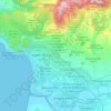
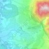
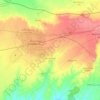


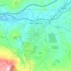
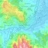
Taza
Morocco > Pachalik du Taza باشوية تازة
Taza is located in north-central Morocco, in the south of the Rif region right outside the mountain range on a narrow plain. The city is composed of two formerly separate towns built on separate terraces overlooking a mountain valley. The old-Taza town is at an elevation of 1,919 feet (585 m) above sea level…
Average elevation: 536 m









Ifrane
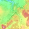
Morocco > Pachalik d'Ifrane ⵜⴰⴱⴰⵛⴰⵏⵜ ⵏ ⵉⴼⵔⴰⵏ باشوية إفران
Ifrane (Arabic: إفران; Berber languages: ⵉⴼⵔⴰⵏ) is a city in the Middle Atlas region of northern Morocco (population 14,659 as of November 2014). The capital of Ifrane Province in the region of Fès-Meknès, Ifrane is located at an elevation of 1,665 m (5,463 ft). In the regional Tamazight…
Average elevation: 1,668 m