France topographic maps
Click on a map to view its topography, its elevation and its terrain.
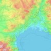


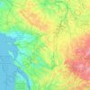
Grison
France > Pays de la Loire > Loire-Atlantique > Vallons-de-l'Erdre > Saint-Mars-la-Jaille
Average elevation: 49 m
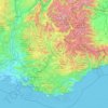







Grande Terre
The island is located roughly 1,300 kilometres (810 mi; 700 nmi) east of Australia. Grande Terre is oriented northwest-to-southeast; its area is 16,372 square kilometres (6,321 square miles). It is nearly 400 kilometres (250 miles) in length and 50–70 km (30–40 mi) wide in most places. A mountain range…
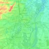
Average elevation: 44 m


Saint Barthélemy
Morne de Vitet, 286 metres (938 feet) in height, is the highest peak on the island. Hills and valleys of varying topography cover the rest of the island. Notable are Morne Rouge, Morne Criquet, Morne de Grand Fond, Morne de Dépoudré and Morne Lurin. The largest bodies of water on the island are Étang de…
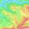
Average elevation: 2 m

Guadeloupe
The two main islands are Basse-Terre (west) and Grande-Terre (east), which form a butterfly shape as viewed from above, the two 'wings' of which are separated by the Grand Cul-de-Sac Marin, Rivière Salée [fr] and Petit Cul-de-Sac Marin. More than half of Guadeloupe's land surface consists of the 847.8 km2…
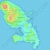
Average elevation: 18 m