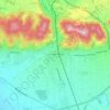
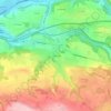
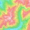
Isère topographic maps
Click on a map to view its topography, its elevation and its terrain.
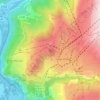

Grenoble
France > Auvergne-Rhône-Alpes > Isère
Except for a few dozen houses on the slopes of the Bastille hill of Chartreuse, Grenoble is exclusively built on the alluvial plain of the rivers Isère and Drac at an altitude of 214 metres (702 ft). As a result, the city itself is extremely flat. Mountain sports are an important tourist attraction in summer…
Average elevation: 246 m