
Fontcouverte topographic maps
Click on a map to view its topography, its elevation and its terrain.


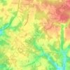

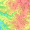

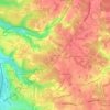

La Fosse à l'Eau
France > Nouvelle-Aquitaine > Charente-Maritime > Fontcouverte
Average elevation: 57 m

Click on a map to view its topography, its elevation and its terrain.
France > Nouvelle-Aquitaine > Charente-Maritime > Fontcouverte
Average elevation: 57 m