
Mount Pinto topographic map
Interactive map
Click on the map to display elevation.
About this map
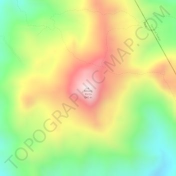
Name: Mount Pinto topographic map, elevation, terrain.
Location: Mount Pinto, Antipolo, Rizal, Calabarzon, 1870, Philippines (14.70656 121.35697 14.70666 121.35707)
Average elevation: 591 m
Minimum elevation: 340 m
Maximum elevation: 844 m
Other topographic maps
Click on a map to view its topography, its elevation and its terrain.