
Sungai Terolak topographic map
Interactive map
Click on the map to display elevation.
About this map
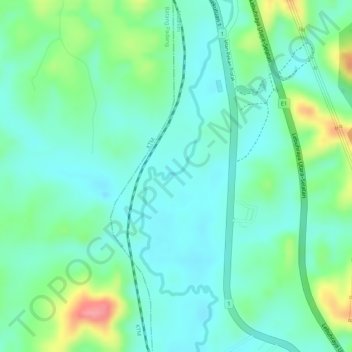
Name: Sungai Terolak topographic map, elevation, terrain.
Location: Sungai Terolak, Trolak, Muallim, Perak, Malaysia (3.85759 101.37837 3.88070 101.38515)
Average elevation: 49 m
Minimum elevation: 20 m
Maximum elevation: 119 m