
Thank you for supporting this site ❤️
Make a donation
Make a donation
Gordondale topographic map
Click on the map to display elevation.
Thank you for supporting this site ❤️
Make a donation
Make a donation
About this map
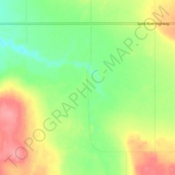
Name: Gordondale topographic map, elevation, terrain.
Location: Gordondale, Saddle Hills County, Alberta, Canada (55.80525 -119.56155 55.84525 -119.52155)
Average elevation: 745 m
Minimum elevation: 707 m
Maximum elevation: 792 m
Thank you for supporting this site ❤️
Make a donation
Make a donation