
Thank you for supporting this site ❤️
Make a donation
Make a donation
Roaches topographic map
Click on the map to display elevation.
Thank you for supporting this site ❤️
Make a donation
Make a donation
About this map
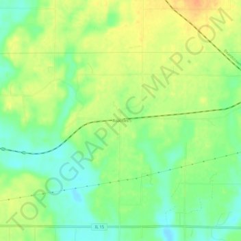
Name: Roaches topographic map, elevation, terrain.
Location: Roaches, Jefferson County, Illinois, 62898, United States (38.30505 -89.09618 38.34505 -89.05618)
Average elevation: 149 m
Minimum elevation: 131 m
Maximum elevation: 166 m
Thank you for supporting this site ❤️
Make a donation
Make a donation
Other topographic maps
Click on a map to view its topography, its elevation and its terrain.