
Thank you for supporting this site ❤️
Make a donation
Make a donation
Preah Meas topographic map
Click on the map to display elevation.
Thank you for supporting this site ❤️
Make a donation
Make a donation
About this map
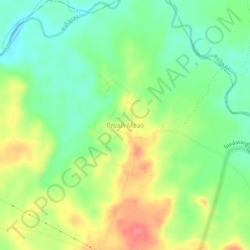
Name: Preah Meas topographic map, elevation, terrain.
Location: Preah Meas, Kaev Seima, Mondulkiri, Cambodia (12.59567 106.85758 12.63567 106.89758)
Average elevation: 209 m
Minimum elevation: 178 m
Maximum elevation: 252 m
Thank you for supporting this site ❤️
Make a donation
Make a donation