
Ferlens (VD) topographic map
Interactive map
Click on the map to display elevation.
About this map
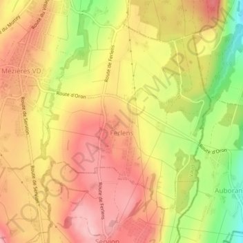
Name: Ferlens (VD) topographic map, elevation, terrain.
Average elevation: 721 m
Minimum elevation: 624 m
Maximum elevation: 782 m
Other topographic maps
Click on a map to view its topography, its elevation and its terrain.
Carrouge (VD)
Suisse > Vaud > District de Lavaux-Oron > Jorat-Mézières > Carrouge (VD)
Carrouge (VD), Jorat-Mézières, District de Lavaux-Oron, Vaud, 1084, Suisse
Average elevation: 725 m