
Thank you for supporting this site ❤️
Make a donation
Make a donation
Sankhwas topographic map
Click on the map to display elevation.
Thank you for supporting this site ❤️
Make a donation
Make a donation
About this map
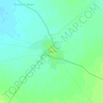
Name: Sankhwas topographic map, elevation, terrain.
Location: Sankhwas, Mundwa Tehsil, Nagaur, Rajasthan, 341028, India (26.90387 73.65801 26.94387 73.69801)
Average elevation: 329 m
Minimum elevation: 323 m
Maximum elevation: 334 m
Thank you for supporting this site ❤️
Make a donation
Make a donation