
Wereth topographic map
Interactive map
Click on the map to display elevation.
About this map
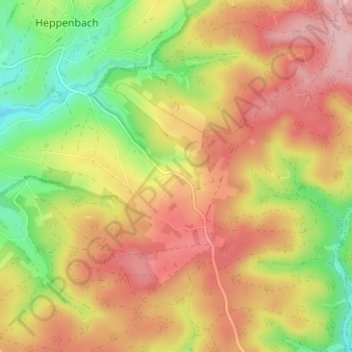
Name: Wereth topographic map, elevation, terrain.
Location: Wereth, Amel, Verviers, Luik, Wallonië, 4771, België (50.32570 6.21820 50.36570 6.25820)
Average elevation: 550 m
Minimum elevation: 459 m
Maximum elevation: 626 m