
Penanggungan topographic map
Interactive map
Click on the map to display elevation.
About this map
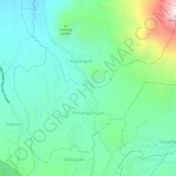
Name: Penanggungan topographic map, elevation, terrain.
Location: Penanggungan, Mojokerto, East Java, Indonesia (-7.65296 112.57790 -7.61561 112.62253)
Average elevation: 645 m
Minimum elevation: 330 m
Maximum elevation: 1,603 m