
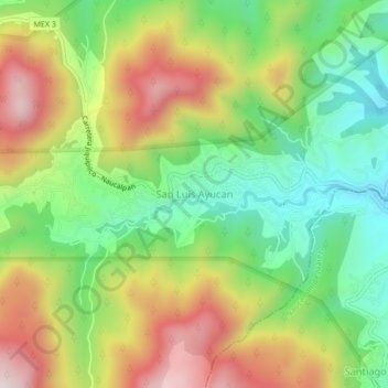
San Luis Ayucan topographic map
Interactive map
Click on the map to display elevation.
About this map
Name: San Luis Ayucan topographic map, elevation, terrain.
Location: San Luis Ayucan, Jilotzingo, Estado de México, México (19.47416 -99.38525 19.51416 -99.34525)
Average elevation: 2,855 m
Minimum elevation: 2,585 m
Maximum elevation: 3,210 m