
Thank you for supporting this site ❤️
Make a donation
Make a donation
Jadla topographic map
Click on the map to display elevation.
Thank you for supporting this site ❤️
Make a donation
Make a donation
About this map
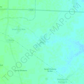
Name: Jadla topographic map, elevation, terrain.
Location: Jadla, Kathumar Tehsil, Alwar, Rajasthan, India (27.32654 76.93816 27.36654 76.97816)
Average elevation: 216 m
Minimum elevation: 212 m
Maximum elevation: 219 m
Thank you for supporting this site ❤️
Make a donation
Make a donation