
Thank you for supporting this site ❤️
Make a donation
Make a donation
Keaton topographic map
Click on the map to display elevation.
Thank you for supporting this site ❤️
Make a donation
Make a donation
About this map
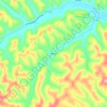
Name: Keaton topographic map, elevation, terrain.
Location: Keaton, Johnson County, Kentucky, 41226, United States (37.96564 -82.98017 38.00564 -82.94017)
Average elevation: 270 m
Minimum elevation: 205 m
Maximum elevation: 353 m
Thank you for supporting this site ❤️
Make a donation
Make a donation
Other topographic maps
Click on a map to view its topography, its elevation and its terrain.