
Glabbeek topographic map
Interactive map
Click on the map to display elevation.
About this map
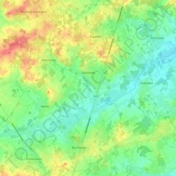
Name: Glabbeek topographic map, elevation, terrain.
Location: Glabbeek, Löwen, Flämisch-Brabant, Belgien (50.83124 4.90560 50.90125 4.99338)
Average elevation: 54 m
Minimum elevation: 28 m
Maximum elevation: 97 m