
Latehar topographic map
Interactive map
Click on the map to display elevation.
About this map
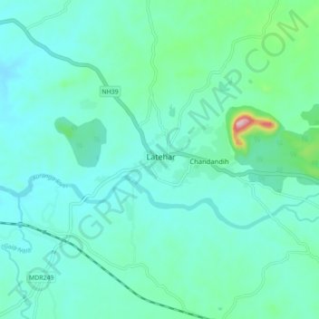
Name: Latehar topographic map, elevation, terrain.
Location: Latehar, Jharkhand, 829206, Inde (23.70355 84.45949 23.78355 84.53949)
Average elevation: 393 m
Minimum elevation: 352 m
Maximum elevation: 607 m