
Bělá topographic map
Interactive map
Click on the map to display elevation.
About this map
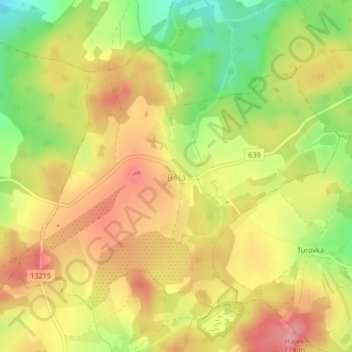
Name: Bělá topographic map, elevation, terrain.
Location: Bělá, Bezirk Pilgrams, Region Hochland, Südosten, Tschechien (49.30241 15.24202 49.32278 15.27980)
Average elevation: 675 m
Minimum elevation: 613 m
Maximum elevation: 723 m